Balsam Bashing 8 Point Plan
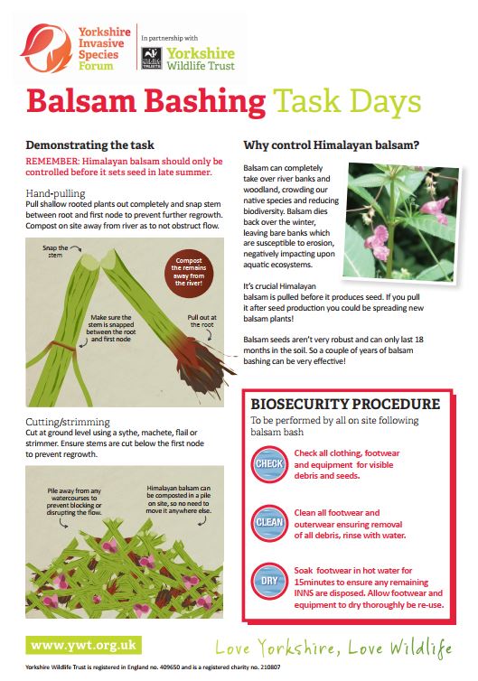
A free guide to planning and leading a comunity balsam bash.
What’s a balsam bash?
It’s a fun and active way to control invasive plants such as himalayan balsam. A great way to involve and engage with like-minded people and make a diference tackling INNS.
This short guide takes you through 8 steps in planning a successful balsam bash; from considering the equipment needed, to ensuring everyones safety. Included are useful tips and diagrams on best practice control as well as advice in how to conduct biosecurity measures at the end of the day.
INNS Surveying Guide
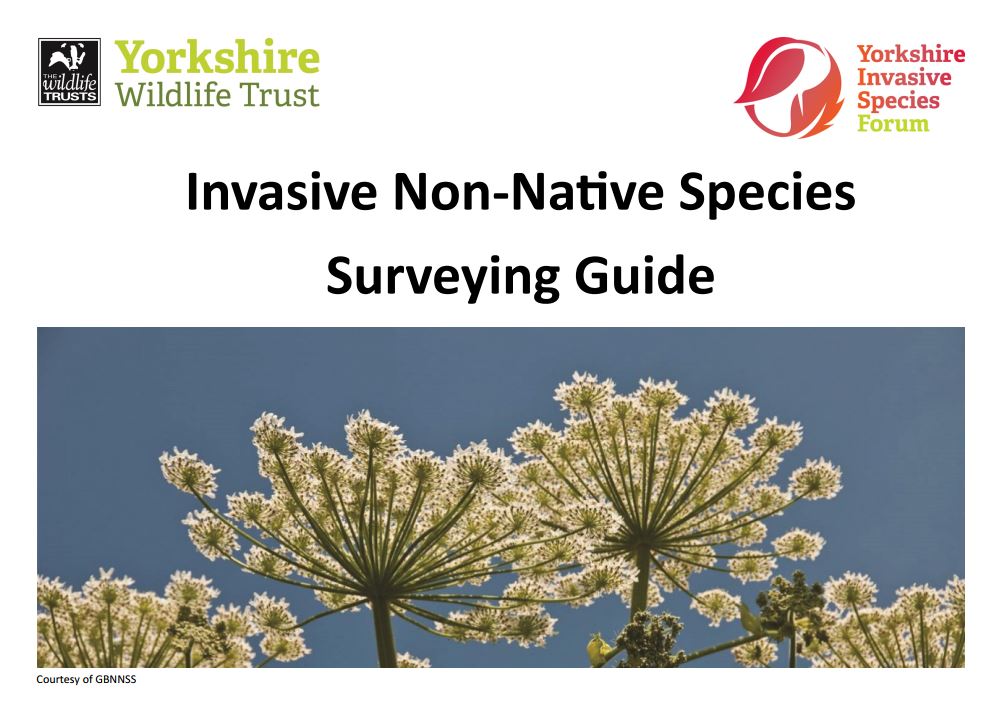
A free guide to planning and undertaking an INNS survey
The guide follows a basic methodology suitable for volunteers. The guide takes you through a step by step process in planning and undertaking an INNS survey for species such as Himalayan balsam, giant hogweed and Japanese knotweed. This is usually undertaken along a set route, for example, a stretch of riverbank and includes collecting data and uplaoding data to INNS Mapper.
This guide was developed by the Yorkshire Wildlife Trust and as such some policies and procedures which are included are relevant to the safe management of its volunteers. The guide can be applied by others but it is recommended that appropriate health & safety guidance is used in advance of undertaking a survey.
INNS Mapper User Guides
Free video guides to using INNS Mapper
An introduction to INNS Mapper
This short guide takes you through the various functions of INNS Mapper
How to report a sighting INNS Mapper
This short guide takes you through the step by step process of adding an INNS sighting to INNS Mapper.
How to conduct a survey INNS Mapper
This short guide takes you through the step by step process of conducting a survey on INNS Mapper.
How to report management of an INNS on INNS Mapper
This short guide takes you through the step by step process of reporting an INNS management effort on INNS Mapper.
How to view INNS Mapper records
This short guide takes you through how to view records available on INNS Mapper.
How verify sighting reports, records and photos on INNS Mapper
This short guide takes you through the step by step process of verifying photos of INNS sightings reported on INNS Mapper.